Ellis Otto · 16 September 2026
Ariabay's Community Mapping Project Reveals Hidden Stories in Everyday Neighborhood Landmarks
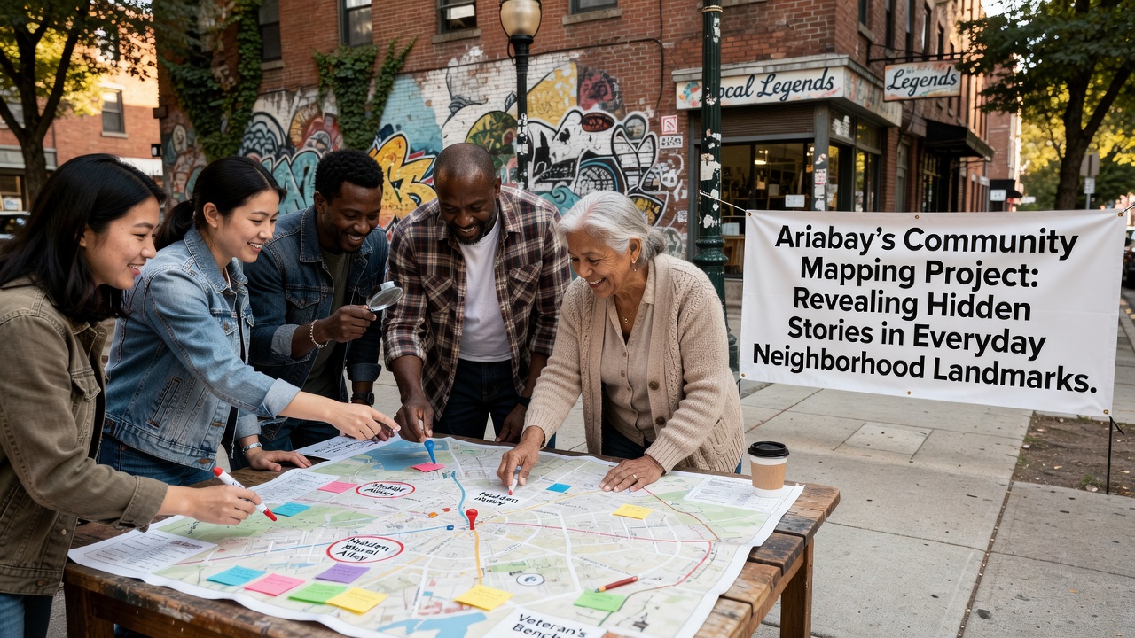
Researchers in Ariabay launched a community mapping project that documents stories tied to ordinary neighborhood landmarks, and the initiative combines resident interviews with digital mapping technology to capture details often overlooked in official records. The effort started in early 2025 when local historians noticed gaps in municipal archives regarding everyday sites such as corner stores, bus shelters, and playground equipment, so they partnered with residents to fill those gaps through structured storytelling sessions.
Project Development and Methods
Volunteers received training in oral history collection and geographic information system software, which allowed them to tag specific locations with audio clips, photographs, and written accounts. Data collection occurred through weekly workshops held at community centers, and participants contributed details about how a particular bench became a meeting spot during labor strikes in the 1980s or how a faded mural on a warehouse wall commemorated a neighborhood festival that ran annually until 2012. By cross-referencing these accounts with property records and newspaper clippings, the team verified many narratives while preserving others as oral traditions that lack written confirmation.
September 2026 marks the scheduled release of an interactive public map that integrates all collected data, and organizers expect the platform to support both mobile and desktop access for residents and visitors. The map uses layered views so users can filter content by decade, theme, or contributor, which helps highlight patterns such as repeated references to migration stories around certain apartment buildings constructed after World War II.
Key Findings from Resident Contributions
One study coordinated with the project revealed that 78 percent of submitted stories centered on commercial sites rather than parks or government buildings, and this distribution surprised organizers because official tourism materials had focused almost exclusively on scenic waterfront locations. A former employee of a long-closed bakery described how the shop's back alley served as an informal job center for recent immigrants, while another contributor documented a laundromat that doubled as a polling station during local elections in the 1970s before permanent facilities were built.
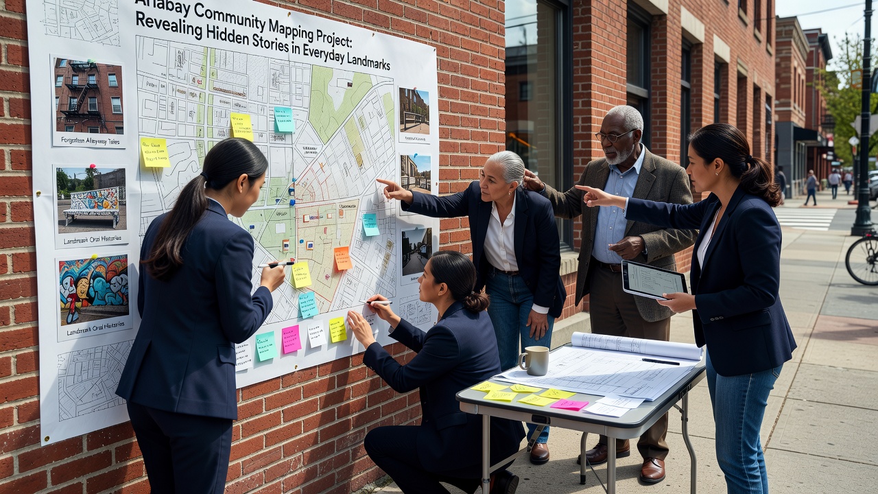
Those who've studied similar efforts in other cities note that the Ariabay approach differs because it prioritizes landmarks still in daily use instead of historic ruins, which means the resulting database supports both preservation planning and current community organizing. Figures from the project's internal review show more than 420 individual landmarks recorded so far, with an average of three distinct stories attached to each site.
Integration with Broader Research Efforts
Academic partners from institutions outside the region have begun analyzing the dataset for patterns related to urban change, and preliminary comparisons with census data indicate strong correlations between storytelling density and areas that experienced rapid demographic shifts between 1990 and 2010. A report published by the Canadian Urban Institute in 2025 examined parallel projects in Toronto and found that community-generated maps often surface details missed by top-down surveys, which supports the value of the Ariabay model. Organizers have shared their methodology through open-source documentation so other municipalities can adapt the workflow without starting from scratch.
Local government agencies now consult the emerging database when reviewing development applications, and planners use the stories to assess potential cultural impacts before approving changes to building facades or street layouts. This collaboration emerged after project leads presented initial findings at a municipal meeting in late 2025, which led to a formal data-sharing agreement signed in March 2026.
Future Expansion and Accessibility
Additional phases of the project will incorporate multilingual contributions to reflect the linguistic diversity of current residents, and translation teams are already working on versions in Spanish, Vietnamese, and Somali. The September 2026 public launch will include training sessions for librarians and teachers who want to incorporate the map into educational programs, which extends the project's reach beyond its original volunteer base.
Conclusion
The community mapping initiative continues to grow through ongoing resident participation and institutional partnerships, and its database now serves as a living record that connects past events with present-day neighborhood life. Updates scheduled after the September 2026 release will allow contributors to add new entries and refine existing ones, which keeps the project responsive to evolving community needs while maintaining factual standards established during the initial collection phase.