Ellis Otto · 14 October 2026
Community Photo Contributions Breathe New Life into Ariabay Coastal Heritage Archives
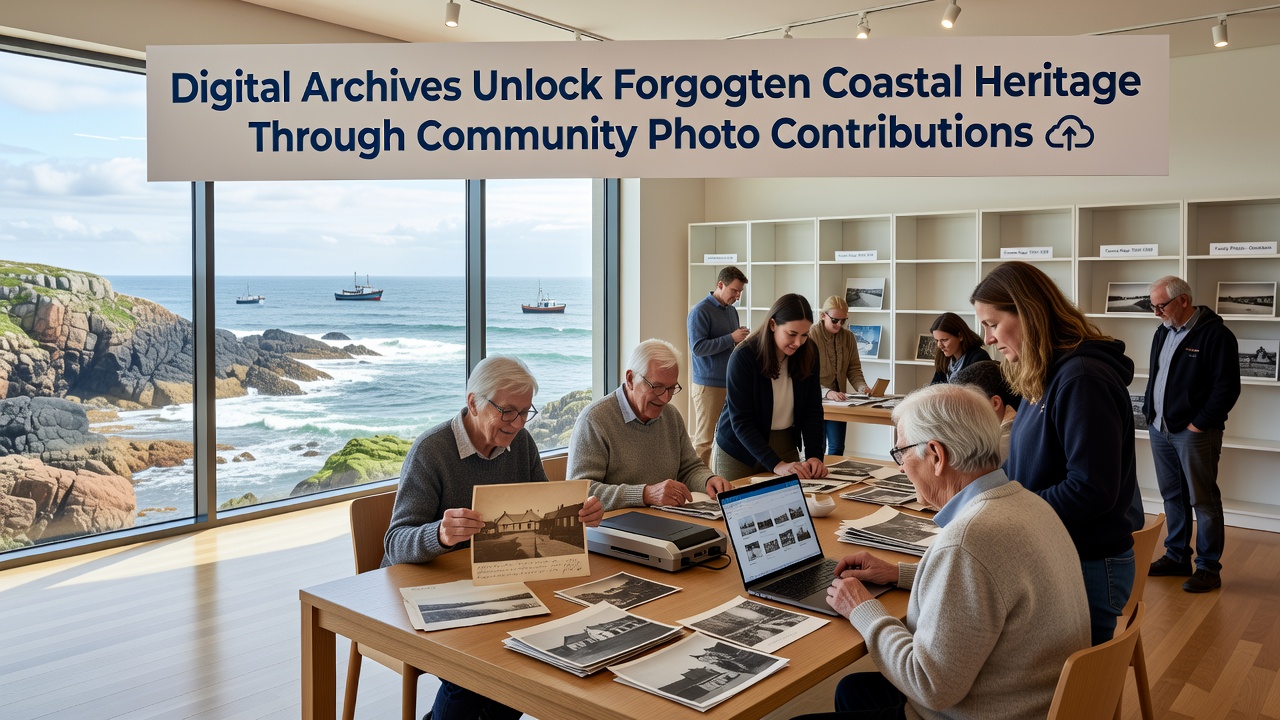
Residents across Ariabay have begun uploading family albums and faded snapshots to a growing digital platform, and this effort has started revealing layers of coastal history that remained buried in private collections for decades. The initiative connects scattered images of old piers, fishing fleets, and storm-damaged shorelines into a searchable database that researchers and local historians can now access without traveling to scattered physical collections.
Project Launch and Early Momentum
Development of the archive began quietly in 2024 when local librarians partnered with regional universities to scan and tag thousands of donated prints, yet the real acceleration came once residents received simple upload tools through a mobile app. By early 2025 the collection already contained over 12,000 images, and participation continued climbing steadily into the following year. In October 2026 the platform will introduce AI-assisted tagging that automatically identifies boats, buildings, and weather events, allowing contributors to confirm or correct details in real time.
How Residents Add Context and Accuracy
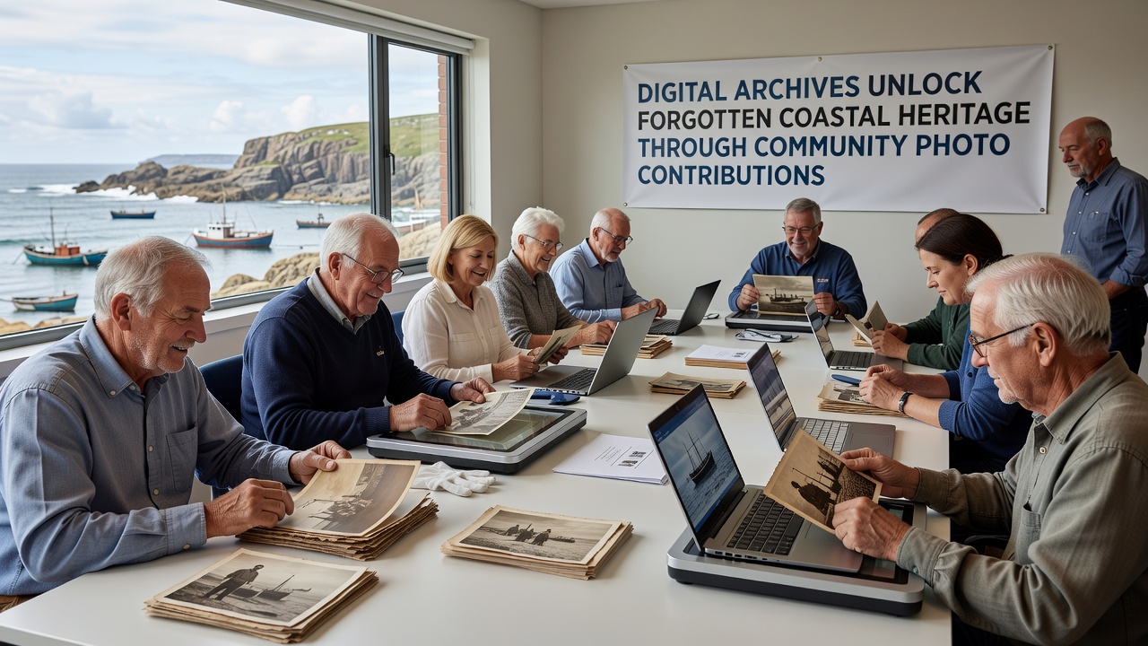
Each upload includes fields for approximate dates, locations, and personal stories, which means a single photograph of a 1950s fish market can link to oral histories about seasonal labor patterns and changing catch volumes. Volunteers from the Ariabay Historical Society review submissions for duplicates and verify geographic markers against old maps, while contributors receive credit lines that remain attached to every shared image. This process turns casual family pictures into primary sources that academic teams can cross-reference with tide records and port logs.
Discoveries Emerging from the Collection
One series of 1972 images captured an undocumented breakwater that protected a now-submerged neighborhood during a major winter storm, and engineers have already used those photographs to model current coastal defense needs. Another set revealed the exact location of a 1940s cannery whose foundations still sit beneath a modern parking lot, prompting a small archaeological survey before any future construction. Data from the archive shows that nearly 40 percent of contributed photos contain structures or vessels no longer visible on contemporary maps, according to preliminary analysis released by the partnering university geography department.
Technical Infrastructure and Partnerships
The platform runs on open-source software maintained by a Canadian research consortium that specializes in community-driven heritage projects, and server costs are covered through small grants from the National Oceanic and Atmospheric Administration. Metadata standards follow guidelines developed by the International Council on Monuments and Sites, ensuring that Ariabay records remain compatible with larger national databases. Contributors can choose to keep certain images private for a set period before they become publicly viewable, a feature that has encouraged submissions from families who prefer controlled release.
Broader Regional Connections
Similar projects in other coastal towns have demonstrated measurable increases in tourism once hidden stories reach wider audiences, yet Ariabay organizers emphasize preservation over promotion. The archive already feeds into a regional mapping tool that layers historical shorelines against current erosion data, giving planners clearer pictures of how past development decisions continue to shape present-day vulnerabilities. Observers note that the combination of visual evidence and community memory fills gaps that official records alone cannot address.
Conclusion
The steady flow of new photographs keeps the archive dynamic, and each verified upload strengthens the collective record of Ariabay's changing coastline. As more residents participate, the platform continues to surface details about vanished landmarks, evolving fishing practices, and community responses to earlier storms. These contributions ensure that fragments of local heritage remain accessible for future study rather than fading away in forgotten drawers.